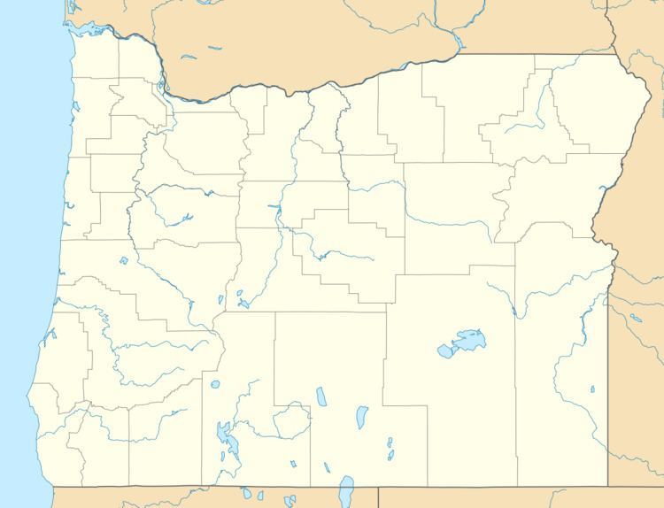
Country United States Topo map USGS Coyote Lake East | State Oregon Elevation 1,282 m | |
 | ||
The Crooked Creek Range is a mountain range in Malheur County, Oregon.
Map of Crooked Creek Range, Oregon 97910, USA
References
Crooked Creek Range Wikipedia(Text) CC BY-SA
