
Time zone CST (UTC-6) Elevation 143 m Local time Saturday 2:23 PM | Established November 3, 1885 ZIP codes 62835, 62859 Area 93.14 km² Population 312 (2010) | |
 | ||
Weather 18°C, Wind SW at 21 km/h, 31% Humidity | ||
Crook Township is one of twelve townships in Hamilton County, Illinois, USA. As of the 2010 census, its population was 312 and it contained 182 housing units.
Contents
- Map of Crook Township IL USA
- Geography
- Unincorporated towns
- Extinct towns
- Cemeteries
- Major highways
- Lakes
- School districts
- Political districts
- References
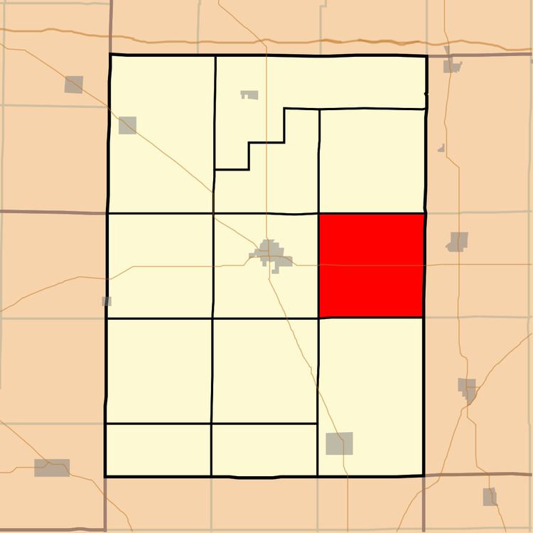
Map of Crook Township, IL, USA
Geography
According to the 2010 census, the township has a total area of 35.96 square miles (93.1 km2), of which 35.76 square miles (92.6 km2) (or 99.44%) is land and 0.2 square miles (0.52 km2) (or 0.56%) is water.
Unincorporated towns
(This list is based on USGS data and may include former settlements.)
Extinct towns
(These towns are listed as "historical" by the USGS.)
Cemeteries
The township contains these seven cemeteries: Arterberry, Hopkins, Munsell, New Hope, Old Brush Harbor, Prince and Webb.
Major highways
Lakes
School districts
Political districts
References
Crook Township, Hamilton County, Illinois Wikipedia(Text) CC BY-SA