
Country United States GNIS feature ID 0428856 Area 94.5 km² Population 325 (2010) | Time zone CST (UTC-6) Elevation 201 m Local time Saturday 10:44 AM | |
 | ||
Weather 6°C, Wind SE at 29 km/h, 43% Humidity | ||
Crittenden Township is a township in Champaign County, Illinois, USA. As of the 2010 census, its population was 325 and it contained 127 housing units.
Contents
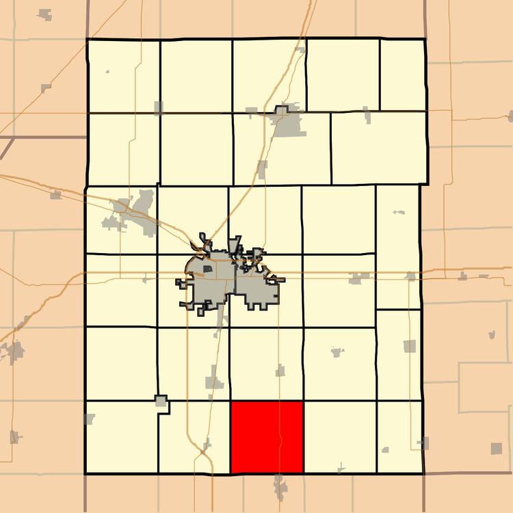
- Map of Crittenden Township IL USA
- History
- Geography
- Unincorporated towns
- Cemeteries
- Major highways
- References
Map of Crittenden Township, IL, USA
History
Crittenden Township formed from part of Philo Township on an unknown date.
Geography
According to the 2010 census, the township has a total area of 36.5 square miles (95 km2), of which 36.45 square miles (94.4 km2) (or 99.86%) is land and 0.05 square miles (0.13 km2) (or 0.14%) is water. The streams of Black Slough and East Branch Embarras River run through this township.
Unincorporated towns
(This list is based on USGS data and may include former settlements.)
Cemeteries
The township contains four cemeteries: Immaculate Conception, Jessee, Kemp and Saint Marys.
Major highways
References
Crittenden Township, Champaign County, Illinois Wikipedia(Text) CC BY-SA