
Primary outflows Tenny River Max. length 2.8 mi (4.5 km) Max depth 16 m Surface elevation 85 m | Basin countries United States Surface area 703 acres (284 ha) Area 2.845 km² Outflow location Tenny River | |
 | ||
Water volume 12,996 acre·ft (16,030,000 m) | ||
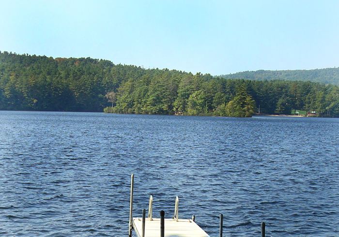
Crescent Lake (formerly Rattlesnake Pond) receives drainage from Coffee Pond and Dumpling Pond in northern Casco, Maine, and extends south into Raymond. The south end of the lake overflows through Tenny River to Panther Pond 1 mile (1.6 km) south. The town of Raymond maintains a boat ramp on Maine State Route 85 at the south end of Crescent Lake. Smallmouth bass, largemouth bass, chain pickerel, and white perch thrive in the lake. Dissolved oxygen deficiency below the 11-metre (36 ft) summer thermocline limits suitability for cold-water fish; but the lake supports populations of cusk and rainbow smelt.
Map of Crescent Lake, Maine, USA
References
Crescent Lake (Rattlesnake Pond) Wikipedia(Text) CC BY-SA