
Country Canada Census division 6 Time zone MST (UTC-7) Elevation 1,175 m Local time Friday 5:58 AM | Postal code span T0M 0R0 Population 444 (2016) Province Alberta | |
 | ||
Weather -2°C, Wind SW at 13 km/h, 50% Humidity | ||
109 cremona heights cremona alberta virtual tour
Cremona /krəˈmoʊnə/ is a village in Southern Alberta, Canada. It is located north of Cochrane and west of Carstairs, along the Cowboy Trail (Highway 22).
Contents
- 109 cremona heights cremona alberta virtual tour
- Map of Cremona AB Canada
- Demographics
- Education
- Notable people
- References
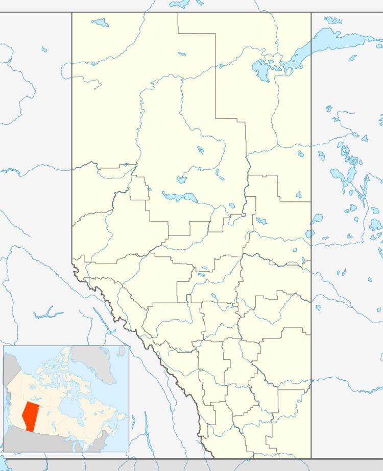
Map of Cremona, AB, Canada
Demographics
In the 2016 Census of Population conducted by Statistics Canada, the Village of Cremona recorded a population of 444 living in 189 of its 204 total private dwellings, a 2999720000000000000♠−2.8% change from its 2011 population of 457. With a land area of 1.94 km2 (0.75 sq mi), it had a population density of 228.9/km2 (592.8/sq mi) in 2016.
In the 2011 Census, the Village of Cremona had a population of 457 living in 199 of its 213 total dwellings, a -1.3% change from its 2006 population of 463. With a land area of 1.71 km2 (0.66 sq mi), it had a population density of 267.3/km2 (692.2/sq mi) in 2011.
In 2006, Cremona had a population of 463 living in 198 dwellings, an 11.6% increase from 2001. The village had a land area of 0.68 square kilometres (0.26 sq mi) and a population density of 677.1/km2 (1,754/sq mi).
Education
Cremona School is a K-12 school within the Chinook's Edge School Division. The school population is currently 390 students.