
Municipality Bocoyna Time zone MST (UTC-7) Population 5,026 (2010) Local time Tuesday 11:08 PM | Elevation 2,345 m (7,694 ft) Founded 26 May 1907 Area code 635 | |
 | ||
Weather 7°C, Wind NE at 6 km/h, 46% Humidity | ||
Express creel chihuahua mexico visit
Creel ([ˈkril]) is a town in the Sierra Tarahumara (part of the Sierra Madre Occidental) of the Mexican state of Chihuahua. It is the second-largest town (after San Juanito) in the municipality of Bocoyna. It is located some 175 kilometres (109 mi) to the southwest of the state capital, Chihuahua, Chih. At the census of 2010, it had a population of 5,026, down from 5,338 as of 2005.
Contents
Map of Creel, Chihuahua, Mexico
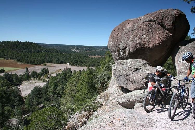
Near Creel is Divisadero, perhaps the best-known overlook of the "Three Canyons" area of the Copper Canyon, as well as Basaseachic Falls, one of the highest waterfalls in Mexico. Creel was historically a logging town, although tourism has become the primary job source over the last 20 years. There are many hotels, restaurants and a number of tours down into the canyons and throughout the surrounding area.
History
Creel was founded with the name ‘Estación Creel’ on May 26, 1907, as a railroad depot on the Chihuahua–Pacific line. It was named after Enrique Creel governor of Chihuahua state at the time. He was the son of Reuben W. Creel, American delegate in Chihuahua. Creel was founded as a planned agricultural settlement that was intended to have a small number of Mexicans who were supposed to spread their culture onto the Tarahumara who were supposed to be the majority of the population. It was supposed to have 25 Mexican and 75 Tarahumara families, but in its early years only had about 30 Tarahumara families although the right number of Mexicans.
For many years before its completion the Ferrocarril Chihuahua al Pacífico line ended at Creel.
Climate
Creel’s high altitude gives it a cool subtropical highland climate (Köppen climate classification Cwb), characterised by mild days and cold nights with frost occurring most mornings from October to April, though daytime temperatures in those months remain comfortable. Although precipitation during the winter is not infrequent, snowfalls are rare, occurring on average only four days per year, but are more frequent on the mountain peaks. Light snowfall has occurred in Creel during the month of June.
Transport
The Chihuahua al Pacífico (Chepe) railroad runs from the city of Chihuahua to Los Mochis with four passenger trains arriving daily - two from each direction. There is also bus service to Chihuahua, as well as regular service down to the small town of Batopilas, a trip that takes about five hours each way.