
Country Portugal Area 398.1 km² Local time Wednesday 1:43 AM Region Alentejo | Subregion Alto Alentejo Parishes 4 Population 3,708 (2011) | |
 | ||
Weather 14°C, Wind NE at 11 km/h, 69% Humidity | ||
Crato ([ˈkɾatu]) is a municipality in Portalegre District in Portugal. The population in 2011 was 3,708, in an area of 398.07 km².
Contents
Map of Crato, Portugal
The present Mayor is José Correia Luz, elected by the Socialist Party. The municipal holiday is Easter Monday.
Parishes
Administratively, the municipality is divided into 5 civil parishes (freguesias):
History
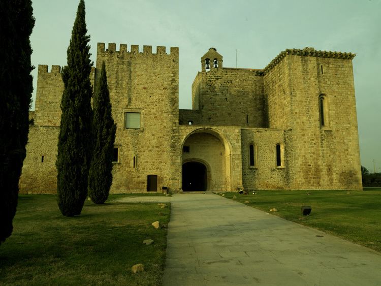
Crato has been the headquarters of the Knights Hospitaller in Portugal since 1340. The head of the order was known as the Prior of Crato.
References
Crato, Portugal Wikipedia(Text) CC BY-SA