
OS grid reference SP924769 Local time Tuesday 11:31 PM District Borough of Kettering UK parliament constituency Kettering | Sovereign state United Kingdom Postcode district NN14 Dialling code 01536330 | |
 | ||
Weather 7°C, Wind S at 19 km/h, 84% Humidity | ||
Cranford St John is an English village near Kettering in Northamptonshire. It is in the southern half of the civil parish of Cranford (where the population is included), next to Cranford St Andrew - both named after the two parish churches. The two settlements are divided by the River Ise; the derivation of the name is "ford frequented by cranes or herons".
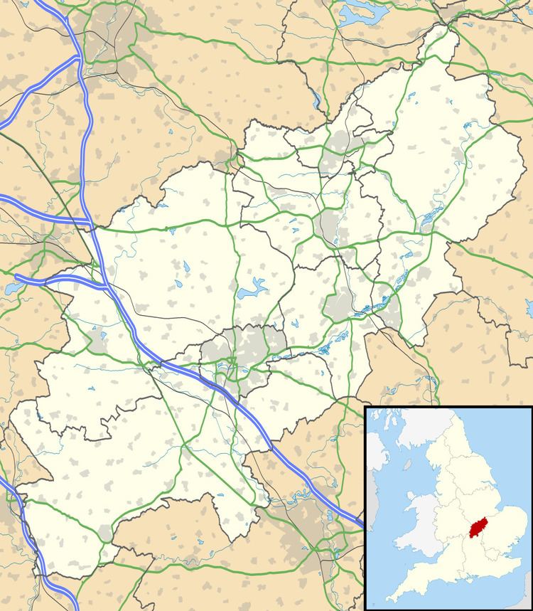
Map of Cranford St John, Kettering, UK
The only public house left is the Red Lion in Cranford St John. The old station house is all that remains of the Kettering Ironstone Railway ( This is actually the old Kettering to Cambridge standard gauge railway and not the Kettering Ironstone narrow gauge Railway) that used to run along the side of the village, which hints at the massive quarrying that used to take place in the area. The pocket park in Cranford St Andrew's side is full of depressions where the tunnels used to move quarried material to the kilns in Cranford St John have collapsed.
The last remaining chimney just outside the village was demolished during the building of the A14 road (which was built on a large section of the old railway line by Cranford). The former Sunday school has been converted into a residential property.