
Country United States Area code(s) 830 Elevation 541 m | State Texas Time zone Central (CST) (UTC-6) GNIS feature ID 1379606 Local time Tuesday 2:17 PM | |
 | ||
Weather 18°C, Wind NE at 19 km/h, 39% Humidity | ||
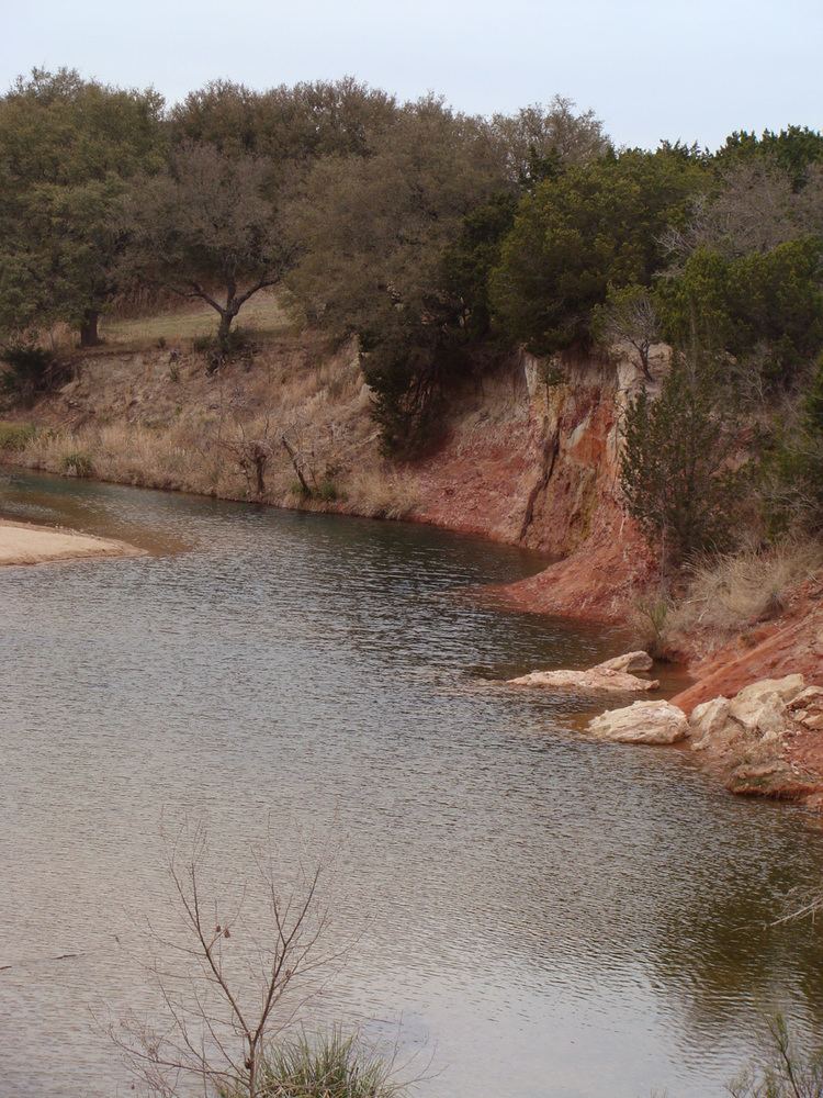
Crabapple, Texas is an unincorporated farming and ranching community 10.5 miles (16.9 km) north of Fredericksburg in Gillespie County, Texas located on Crabapple Creek, about halfway between Fredericksburg and Enchanted Rock State Park at an elevation of 1,775 feet. The school was designated a Recorded Texas Historic Landmark number 10022 in 1994. The school was added to the National Register of Historic Places in Texas on May 6, 2005, NRHP Reference #:05000390.
Contents
- Map of Crabapple Texas 78624 USA
- Settlers and community
- Crabapple School and post office
- Balanced Rock
- Climate
- References
Map of Crabapple, Texas 78624, USA
Settlers and community
The initial non-indigenous settlers in Crabapple were German immigrants Friedrich Welgehausen, Jacob Land, Adam Pehl, Mathias Schmidt, Nicolaus Rusche, James Riley, Heinrich Kneese, and Jacob and Adam Fries in the mid 19th Century.
On December 15, 1847, a petition was submitted to create Gillespie County. In 1848, the legislature formed Gillespie County from Bexar and Travis counties.
While the signers were overwhelmingly German immigrants, names also on the petition were Castillo, Pena, Munos, and a handful of non-German Anglo names.
Crabapple School and post office
The original schoolhouse also served as a post office from 1887–1910.
Balanced Rock
Balanced Rock was a famous local landmark that perched atop Bear Mountain in the Crabapple Community. The natural stone pillar, about the size of a small elephant, precariously balanced on its small tip. It fell prey to vandals who dynamited it off its base in April 1986.
Climate
The climate in this area is characterized by hot, humid summers and generally mild to cool winters. According to the Köppen Climate Classification system, Crabapple has a humid subtropical climate, abbreviated "Cfa" on climate maps.