
OS grid reference SK306469 Post town BELPER Local time Tuesday 6:14 PM | Sovereign state United Kingdom Postcode district DE56 | |
 | ||
Weather 8°C, Wind S at 14 km/h, 61% Humidity | ||
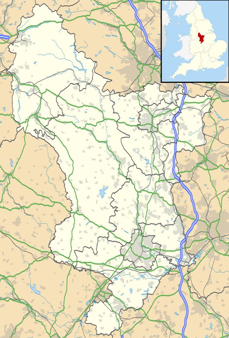
Cowers Lane is a settlement in Derbyshire bordering Shottle near Belper, Derbyshire England along the A517 road. In Norman times, Shottle Park was one of the seven parks within Duffield Frith.
Map of Cowers Lane, Belper, UK
It was the site of a large shelter for cattle belonging to the Duchy of Lancaster who owned the Frith. It is generally believed that the name is the local dialect equivalent of "Cow House Lane".
References
Cowers Lane Wikipedia(Text) CC BY-SA