- elevation 7,048 ft (2,148 m) Length 82 km Basin area 854.7 km² Country United States of America | - elevation 4,216 ft (1,285 m) Basin area 854.7 km² Mouth Jordan Creek | |
 | ||
- location near De Lamar, Owyhee County, Idaho - location Danner, Malheur County, Oregon | ||
Cow Creek is a 51-mile (82 km) tributary of Jordan Creek in the U.S. state of Oregon. The source of Cow Creek is at an elevation of 7,048 feet (2,148 m) near De Lamar, Idaho, while the mouth is at an elevation of 4,216 feet (1,285 m) at Danner. Cow Creek has a 330-square-mile (850 km2) watershed.
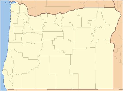
Map of Cow Creek, Oregon, USA
References
Cow Creek (Jordan Creek) Wikipedia(Text) CC BY-SA
