
Established 1786 Population 4,401 (2011) | County Albert County Time zone AST (UTC-4) | |
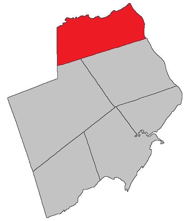 | ||
Coverdale is a Canadian parish in Albert County, New Brunswick.
Contents
- Map of Coverdale NB Canada
- History
- Delineation
- Communities
- Bodies of water Islands
- Access Routes
- References
Map of Coverdale, NB, Canada
History
Coverdale Parish was set off from Hillsborough Parish in 1828 and named for the Coverdale River.
Delineation
Coverdale Parish is defined in the Territorial Division Act as being bounded:
North and east by the Petitcodiac River; south by the south line of lot no. 2, granted to Robert Crossman, at Stoney Creek, on the western side of the Petitcodiac River and its westerly prolongation to the County line; west by the County line.Communities
Parish population total does not include incorporated municipalities (in bold).
Bodies of water & Islands
This is a list of rivers, lakes, streams, creeks, marshes and Islands that are at least partially in this parish
Access Routes
Highways and numbered routes that run through the parish, including external routes that start or finish at the parish limits:
References
Coverdale Parish, New Brunswick Wikipedia(Text) CC BY-SA