
Country United States FIPS code 36-18619 Elevation 481 m Population 1,655 (2010) Area code 607 | State New York Time zone Eastern (EST) (UTC-5) GNIS feature ID 0978873 Zip code 13778 Local time Tuesday 11:32 AM | |
 | ||
Weather 6°C, Wind S at 18 km/h, 96% Humidity Area 126.7 km² (126.1 km² Land / 52 ha Water) | ||
Coventry is a town in Chenango County, New York, United States. The population was 1,655 at the 2010 census. The town is named after Coventry, Connecticut, by settlers from New England. Coventry is in the south part of Chenango County and is northeast of Binghamton.
Contents
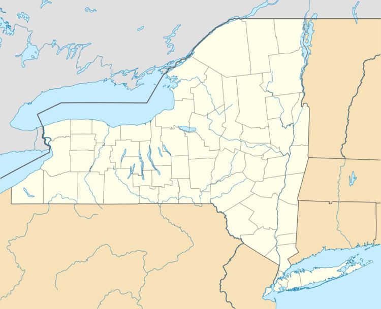
- Map of Coventry NY 13778 USA
- History
- Geography
- Demographics
- Notable peoples
- Communities and locations in Coventry
- Twin towns Sister cities
- References
Map of Coventry, NY 13778, USA
History
The first settlement occurred around 1785 near the current Coventry village. Coventry was formed from the town of Greene in 1806. In 1843, the area of the town was increased from parts of Greene and the town of Oxford.
Due to poor soil conditions, dairy herding was prominent from the pioneer days, leading to five butter and cheese factories in the town at one time in the past.
The District School 4 was listed on the National Register of Historic Places in 2004.
Geography
According to the United States Census Bureau, the town has a total area of 48.9 square miles (126.6 km2), of which 48.7 square miles (126.1 km2) is land and 0.15 square miles (0.4 km2), or 0.34%, is water.
Part of the south town line is the border of Broome County.
Conjoined New York State Route 41 and New York State Route 206 intersect New York State Route 235, a north-south highway, at Coventry village.
Demographics
As of the census of 2000, there were 1,589 people, 577 households, and 428 families residing in the town. The population density was 32.6 people per square mile (12.6/km²). There were 757 housing units at an average density of 15.5 per square mile (6.0/km²). The racial makeup of the town was 99.06% White, 0.25% African American, 0.19% Native American, 0.06% Asian, and 0.44% from two or more races. Hispanic or Latino of any race were 0.94% of the population.
There were 577 households out of which 36.7% had children under the age of 18 living with them, 62.0% were married couples living together, 5.4% had a female householder with no husband present, and 25.8% were non-families. 19.8% of all households were made up of individuals and 5.9% had someone living alone who was 65 years of age or older. The average household size was 2.75 and the average family size was 3.14.
In the town, the population was spread out with 28.8% under the age of 18, 6.5% from 18 to 24, 30.9% from 25 to 44, 24.4% from 45 to 64, and 9.5% who were 65 years of age or older. The median age was 36 years. For every 100 females there were 105.0 males. For every 100 females age 18 and over, there were 104.3 males.
The median income for a household in the town was $35,769, and the median income for a family was $38,906. Males had a median income of $30,272 versus $19,946 for females. The per capita income for the town was $14,807. About 10.7% of families and 14.9% of the population were below the poverty line, including 18.4% of those under age 18 and 10.0% of those age 65 or over.
Notable peoples
Communities and locations in Coventry
Twin towns – Sister cities
Coventry is twinned with: