
OS grid reference TL496821 Sovereign state United Kingdom | Civil parish Coveney Local time Tuesday 4:11 PM | |
 | ||
Weather 9°C, Wind SW at 11 km/h, 64% Humidity | ||
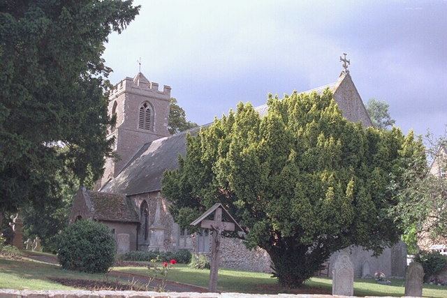
Coveney is a village north of Cambridge in Cambridgeshire. Several bronze axes have been found here, shields and a few swords, all dating from the late Bronze Age. Coveney is on a small 'island' rising to 43 feet (13 m) above sea level, some 3.5 miles (6 km) west of Ely city as the crow flies, but nearly twice that distance by the main road. The village is situated on a by-road which leaves the main Ely–Chatteris road at Wentworth crossroads, about 2 miles (3 km) south. This by-road, which has a branch to the hamlet of Wardy Hill, 1 mile (2 km) west of Coveney village, used to be the only metalled road into the parish. But the droves across Ely West Fen, by Frogs Abbey, to Downham Hythe, and from Wardy Hill to Witcham have recently been made up for wheeled traffic.