
Population 1,353 (2006 census) Postal code 2460 | Postcode(s) 2460 Elevation 40 m Local time Wednesday 2:26 AM | |
 | ||
Weather 17°C, Wind SW at 8 km/h, 72% Humidity | ||
Coutts Crossing (population 1,353) is a rural village located in the Clarence Valley region and Clarence Valley Council of New South Wales, Australia. The village is about 18 kilometres south-west of Grafton on the banks of the Orara River along the Armidale–Grafton Road. The village is named after Thomas Coutts, a settler who established the nearby Kangaroo Creek pastoral station in 1840.
Map of Coutts Crossing NSW 2460, Australia
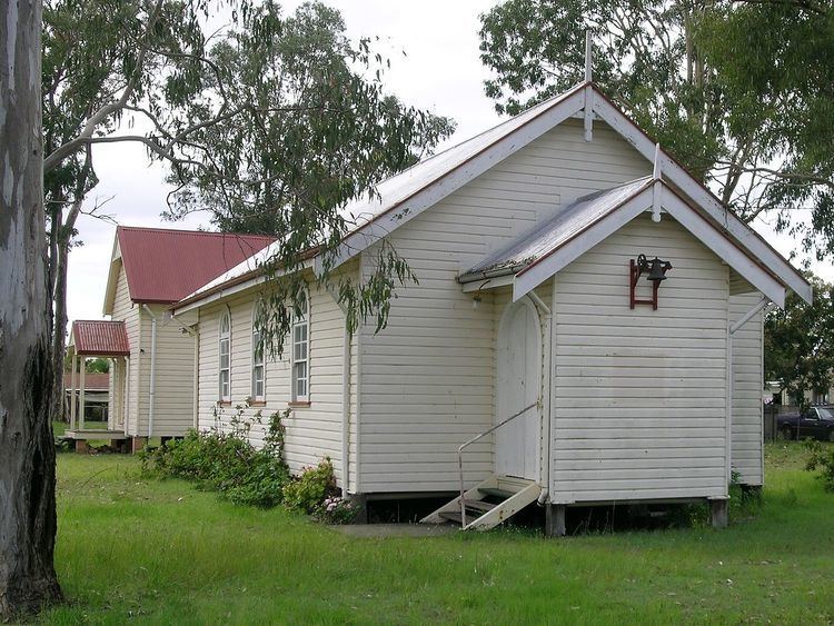
The village was established as a service centre for the local farming community in the 1860s. However, today the village is a dormitory suburb with majority of residents commuting into Grafton. Despite this, the village boasts a tavern, general store, community hall and church. Coutts Crossing Public School was established in 1913 and as of 2009 has 99 pupils enrolled.
In the last twenty-five years, a number of sporting and community services have been established, including tennis and squash courts as well as football and croquet grounds, a nine-hole golf course, a pre-school, a heritage centre and a combined New South Wales Rural Fire Service and State Emergency Service centre, established in 1997.