
Country United States County Cumberland Time zone Eastern (EST) (UTC-5) Area code 207 | State Maine Town Yarmouth FIPS code 23-08500 | |
 | ||
Area 5.18 km² (259 ha Land / 233 ha Water) Similar Casco Bay, Cushing Island, Mackworth Island, Cliff Island, Cousins Island Chapel | ||
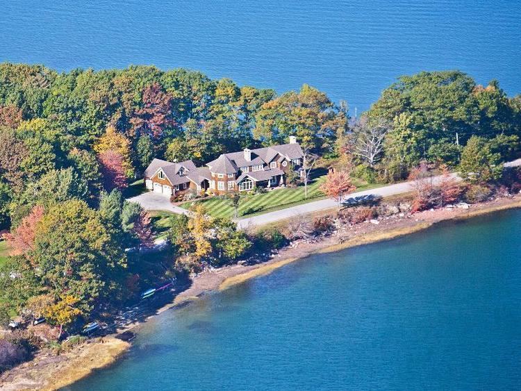
Cousins Island is an island in Casco Bay within the town of Yarmouth in Cumberland County, Maine, United States. It is listed as a census-designated place, with a population of 490 as of the 2010 census. The CDP is part of the Portland–South Portland–Biddeford, Maine Metropolitan Statistical Area.
Contents
Map of Cousins Island, Yarmouth, ME 04096, USA
The island is connected to mainland Maine by a bridge. It is also connected to Chebeague Island by a 15-minute ferry ride on the Chebeague Transportation Company's ferry, the Islander. The island's southwestern peninsula is the site of the Wyman Energy Center, an oil-fired electric power plant capable of producing up to 823 megawatts of electricity. Wyman is a peaking power plant, which means it is only fired up to operate during times of high electricity demand in the region, such as hot summer days.
Geography
According to the United States Census Bureau, the CDP has a total area of 2.0 square miles (5.1 km2), of which 1.0 square mile (2.7 km2) is land and 0.93 square miles (2.4 km2), or 46.51%, is water.