Ward 4 Elevation 1,105 m Local time Tuesday 2:38 AM | Quadrant NW Established 1990 Population 3,705 (2006) | |
 | ||
Website Country Hills Community Association Weather -13°C, Wind N at 11 km/h, 75% Humidity Restaurants Jerusalem Shawarma, Raj Palace, Country Pizza, Sushi Sushi, Cafe 100% YYC | ||
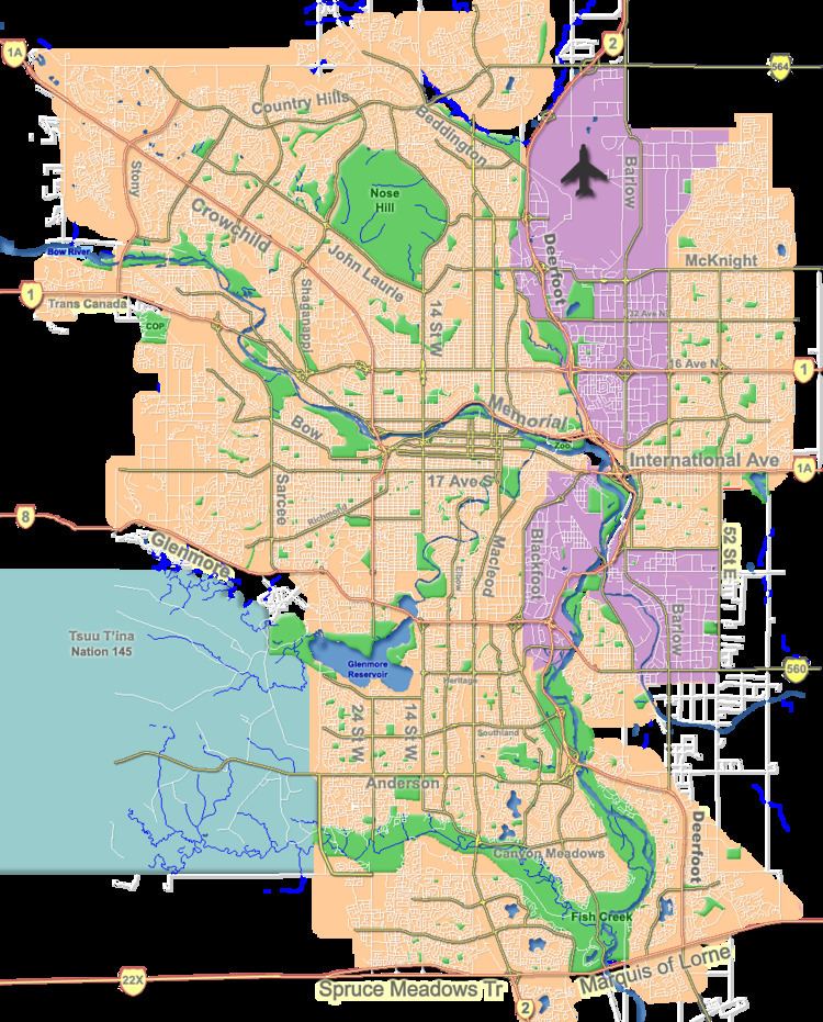
Country Hills is a residential neighbourhood in the north-west quadrant of Calgary, Alberta. It is bounded to the north by the Country Hills Boulevard, to the south by Beddington Trail, and to the east by Harvest Hills Boulevard. To the south-west, it is bordered by the Country Hills golf course and the West Nose Creek. The new community of Country Hills Village is located in the north-east of the neighbourhood.
Contents
Map of Country Hills, Calgary, AB, Canada
Country Hills was established in 1990. It is represented in the Calgary City Council by the Ward 4 councillor.
Demographics
In the City of Calgary's 2012 municipal census, Country Hills had a population of 7003372800000000000♠3,728 living in 7003142600000000000♠1,426 dwellings, a 0.2% increase from its 2011 population of 7003372000000000000♠3,720. With a land area of 1.9 km2 (0.73 sq mi), it had a population density of 1,960/km2 (5,080/sq mi) in 2012. Also in the 2012 municipal census, Country Hills Village had a population of 7003261500000000000♠2,615 living in 7003146700000000000♠1,467 dwellings, an 11.7% increase from its 2011 population of 7003234200000000000♠2,342. With a land area of 1 km2 (0.39 sq mi), it had a population density of 2,600/km2 (7,000/sq mi) in 2012.
Residents in this community had a median household income of $70,237 in 2000, and there were 7.4% low income residents living in the neighbourhood. As of 2000, 18.7% of the residents were immigrants. A proportion of 9.5% of the buildings were condominiums or apartments, and 6.8% of the housing was used for renting. Country Hills Library serves this community. It is located at 11950 Country Village Link N.E. in VIVO. (Formerly Cardel Place.)
