
Time zone CST (UTC-6) Elevation 265 m Local time Tuesday 12:11 AM | Established November 2, 1852 ZIP codes 61036, 61075 Area 42.5 km² Population 141 (2010) | |
 | ||
Weather 12°C, Wind S at 34 km/h, 100% Humidity | ||
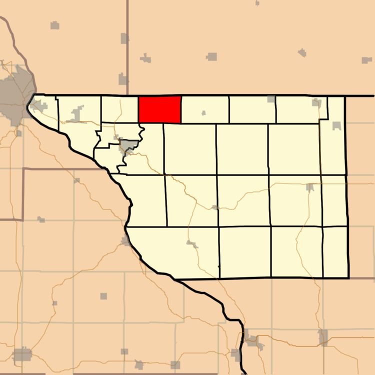
Council Hill Township is one of twenty-three townships in Jo Daviess County, Illinois, USA. As of the 2010 census, its population was 141 and it contained 82 housing units. Its name changed from Scales Township on December 6, 1853.
Contents
- Map of Council Hill Township IL USA
- Geography
- Adjacent townships
- Cemeteries
- School districts
- Political districts
- References
Map of Council Hill Township, IL, USA
Geography
According to the 2010 census, the township has a total area of 16.4 square miles (42 km2), all land.
Adjacent townships
Cemeteries
The township contains these two cemeteries: Council Hill and Grant Hill.
School districts
Political districts
References
Council Hill Township, Jo Daviess County, Illinois Wikipedia(Text) CC BY-SA