Phone +1 406-444-2535 | Area 76 ha | |
 | ||
Similar Beavertail Hill State Park, Frenchtown Pond State Park, Fort Owen State Park, Thompson Falls State Park, Lost Creek State Park | ||
Winter calm at council grove state park near missoula montana mt
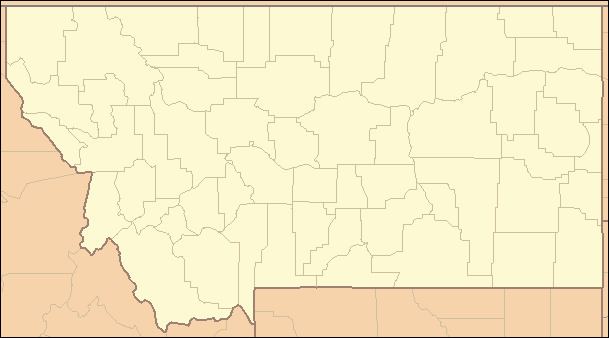
Council Grove State Park (Salish: Člmé, "Tree Limb Cut Off", also Ncx̣͏ʷotew̓s ) is a Montana state park in Missoula County, Montana in the United States. The park is 187 acres (76 ha) and sits at an elevation of 3,198 feet (975 m). The site of the park hosted the July 16, 1855 signing of the Hellgate treaty between representatives of the United States government and members of the Bitterroot Salish, Pend d'Oreille, and the Kootenai to make the Flathead Indian Reservation. One natural attraction of the park is its old growth ponderosa pine trees.
References
Council Grove State Park Wikipedia(Text) CC BY-SA
