
Topo map USGS Panamint Butte Highest point The Grandstand | Elevation 2,729 m Country United States of America Mountains The Grandstand | |
 | ||
Similar Black Mountains, Last Chance Range, Funeral Mountains, Grapevine Mountains, Ubehebe Crater | ||
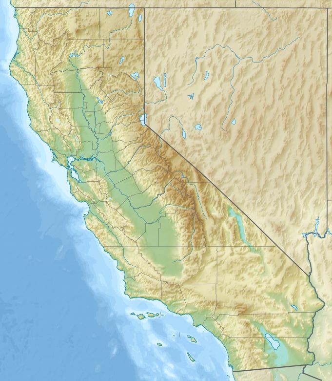
The Cottonwood Mountains range is found in Death Valley National Park in Inyo County, California, U.S.
Map of Cottonwood Mountains, California, USA
The range lies just to the northwest of the Panamint Mountains at the top of Death Valley, and run in a north-south direction.
Tin Mountain, at the northern end of the range, reaches an elevation of 2,729 meters. At the southern end of the range is Towne Pass, at 1,511 meters. The Last Chance Range are to the east.
References
Cottonwood Mountains (Inyo County) Wikipedia(Text) CC BY-SA