
Country United States FIPS code 04-16360 Elevation 1,850 m Local time Monday 9:38 PM | Time zone MST (UTC-7) GNIS feature ID 0003304 Area 37 ha Population 226 (2010) | |
 | ||
Weather -1°C, Wind SW at 5 km/h, 42% Humidity | ||
Cottonwood is a census-designated place (CDP) in Apache County, Arizona, United States. The population was 226 at the 2010 census.
Contents
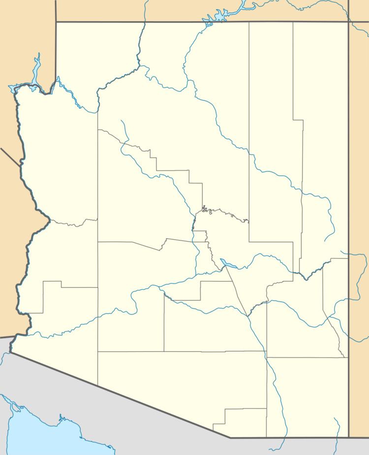
Map of Cottonwood, Arizona 86503, USA
Geography
Cottonwood is located at 36°04′23″N 109°53′32″W, about 21 miles (34 km) west of Chinle and 22 miles (35 km) east of Pinon.
According to the United States Census Bureau, the CDP has a total area of 0.14 square miles (0.37 km2), all land.
References
Cottonwood, Apache County, Arizona Wikipedia(Text) CC BY-SA