
Country United States FIPS code 19-16725 Elevation 217 m Zip code 52738 Population 48 (2013) | Time zone Central (CST) (UTC-6) GNIS feature ID 0455655 Area 65 ha Local time Monday 9:53 PM Area code 319 | |
 | ||
Weather 19°C, Wind S at 42 km/h, 71% Humidity | ||
Cotter is a city in Louisa County, Iowa, United States. The population was 48 at the 2010 census. It is part of the Muscatine Micropolitan Statistical Area.
Contents
Map of Cotter, IA 52738, USA
History
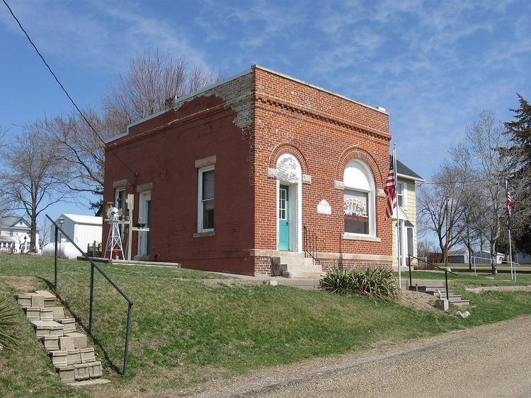
Cotter, originally called Cotterville, was laid out in 1878 by Margaret E. Cotter. It was located along the Chicago, Rock Island and Pacific Railroad.
Geography
Cotter is located at 41°17′32″N 91°28′2″W (41.292202, -91.467217).
According to the United States Census Bureau, the city has a total area of 0.25 square miles (0.65 km2), all of it land.
2010 census
As of the census of 2010, there were 48 people, 19 households, and 14 families residing in the city. The population density was 192.0 inhabitants per square mile (74.1/km2). There were 24 housing units at an average density of 96.0 per square mile (37.1/km2). The racial makeup of the city was 100.0% White. Hispanic or Latino of any race were 29.2% of the population.
There were 19 households of which 21.1% had children under the age of 18 living with them, 63.2% were married couples living together, 5.3% had a female householder with no husband present, 5.3% had a male householder with no wife present, and 26.3% were non-families. 26.3% of all households were made up of individuals and 5.3% had someone living alone who was 65 years of age or older. The average household size was 2.53 and the average family size was 2.86.
The median age in the city was 44.5 years. 27.1% of residents were under the age of 18; 2.2% were between the ages of 18 and 24; 23% were from 25 to 44; 39.6% were from 45 to 64; and 8.3% were 65 years of age or older. The gender makeup of the city was 33.3% male and 66.7% female.
2000 census
As of the census of 2000, there were 48 people, 19 households, and 14 families residing in the city. The population density was 205.3 people per square mile (80.6/km²). There were 19 housing units at an average density of 81.2 per square mile (31.9/km²). The racial makeup of the city was 85.42% White, 4.17% African American, 10.42% from other races. Hispanic or Latino of any race were 14.58% of the population.
There were 19 households out of which 31.6% had children under the age of 18 living with them, 63.2% were married couples living together, 10.5% had a female householder with no husband present, and 26.3% were non-families. 10.5% of all households were made up of individuals and none had someone living alone who was 65 years of age or older. The average household size was 2.53 and the average family size was 2.79.
In the city, the population was spread out with 25.0% under the age of 18, 8.3% from 18 to 24, 29.2% from 25 to 44, 31.3% from 45 to 64, and 6.3% who were 65 years of age or older. The median age was 35 years. For every 100 females there were 166.7 males. For every 100 females age 18 and over, there were 125.0 males.
The median income for a household in the city was $41,250, and the median income for a family was $26,250. Males had a median income of $34,375 versus $18,750 for females. The per capita income for the city was $13,879. There were 11.1% of families and 18.9% of the population living below the poverty line, including 37.5% of under eighteens and none of those over 64.