
Population 108 (2011 census) Civil parish Cottam Local time Tuesday 3:47 AM | OS grid reference SE994646 Dialling code 01377 | |
 | ||
Weather 2°C, Wind W at 11 km/h, 89% Humidity | ||
Cottam is a hamlet and civil parish in the East Riding of Yorkshire, England. It is situated on the Yorkshire Wolds approximately 4 miles (6 km) east of the village of Sledmere. It lies west of the B1249 road.
Contents
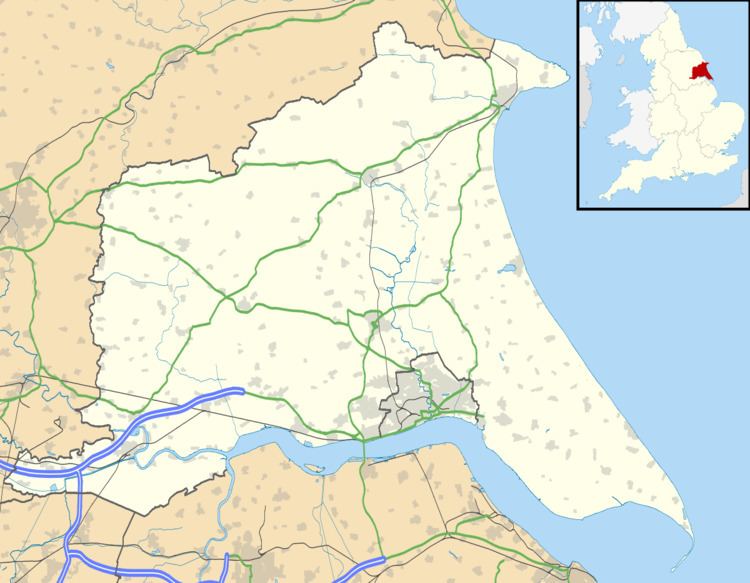
Map of Cottam, UK
The civil parish is formed by the hamlets of Cottam and Cowlam. According to the 2011 UK census, Cottam parish had a population of 108, an increase on the 2001 UK census figure of 74, which was the lowest population figure of any East Riding of Yorkshire civil parish in 2001. RAF Cottam was built as a bomber airfield in the Second World War but was never used for flying. Later the runways were used for bomb storage and the buildings were demolished in 1980.
Cottam was previously an Anglo-Scandinavian / medieval village that was deserted. All that remains today is a small, derelict church (which itself dates from the 19th century).
Origin of word
A Cottam, as confirmed by the Oxford University History department derives from the word Cottage. It means a collection of cottages at the end of a lane.