
Country United States County Callaway GNIS feature ID 0766376 Area 126.4 km² Population 1,122 (2010) | FIPS code 29-16642 Elevation 168 m Local time Monday 8:57 PM | |
 | ||
Weather 21°C, Wind S at 40 km/h, 67% Humidity | ||
Cote Sans Dessein Township is one of eighteen townships in Callaway County, Missouri, USA. As of the 2010 census, its population was 1,122.
Contents
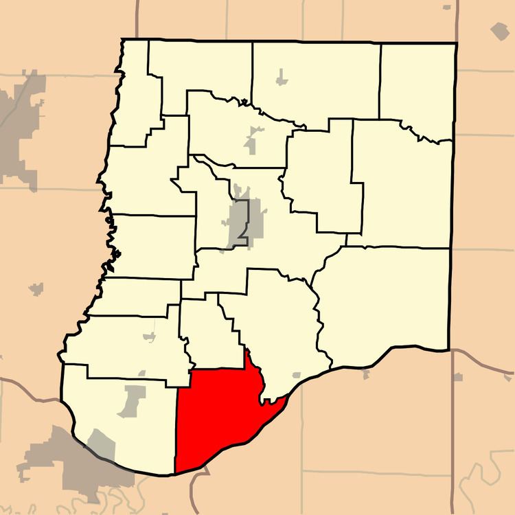
Map of Cote Sans Dessein Township, MO, USA
Geography
Cote Sans Dessein Township covers an area of 48.82 square miles (126.4 km2) and contains no incorporated settlements. It contains six cemeteries: Farmer, High Hill, Middle River, Riverview, Thorp and Williams.
The streams of Cason Branch, Gallons Creek, Muddy Creek, Rivaux Creek, Rocky Branch and Sand Springs Branch run through this township.
History
Cote Sans Dessein Township was establiished in 1821, and named after the community of Cote Sans Dessein, Missouri.
References
Cote Sans Dessein Township, Callaway County, Missouri Wikipedia(Text) CC BY-SA