
Area 72.4 km² | ||
 | ||
Cosautlán in Veracruz, Mexico. It is located in the montane central zone of the State of Veracruz, about 23.5 km from state capital Xalapa. It has a surface of 72.38 km2. It is located at 19°20′N 96°59′W.
Map of Cosautl%C3%A1n de Carvajal, Ver., Mexico
The municipality of Cosautlán is delimited to the north by Teocelo, to the south by Tlaltetela, to the east by Tlaltetela, to the south by Oteapan, and to the west by Ixhuacán de los Reyes.
It produces principally maize and beans.
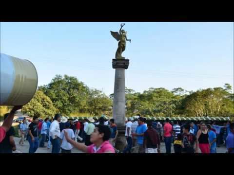
In Cosautlán , in May takes place the celebration in honor to San Isidro Labrador, Patron of the town.
The weather in Cosautlán is cold all year with rains in summer and autumn.
References
Cosautlán de Carvajal Wikipedia(Text) CC BY-SA