
OS grid reference SH743088 Country Wales Post town MACHYNLLETH Local time Monday 7:02 PM Dialling code 01654 Welsh assembly Dwyfor Meirionnydd | Sovereign state United Kingdom Postcode district SY20 | |
 | ||
Weather 6°C, Wind W at 8 km/h, 93% Humidity | ||
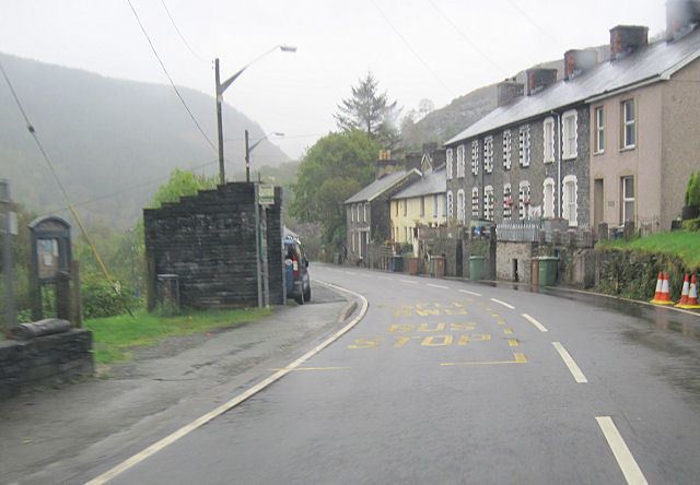
Corris Uchaf (English: Upper Corris), locally known as Top Corris, is a village lying in the south of the Snowdonia National Park in Gwynedd, Wales. The name is believed to be derived from the English word "quarries", and the extensive slate quarries that surround the village are its most prominent historical feature.
Map of Corris Uchaf, Machynlleth, UK
The village lies in the valley of the Afon Deri, and is threaded by the A487 road, a trunk road between Dolgellau and Machynlleth. To the south the Deri runs into the Afon Dulas in the neighbouring village of Corris.
Among the quarries that once thrived around the village are Abercwmmeiddaw and Abercorris (also known as Cwmodyn) on the east bank of the river, and Gaewern and Braichgoch on the western slopes of the valley.
A narrow-gauge horse-drawn tramway carried slate in waggons from the quarries to Maespoeth Junction, where they joined the main line of the narrow gauge Corris Railway which took them onward to Machynlleth.