
Highest elevation 400 m (1,300 ft) Max length 78 km | Width 30 km (19 mi) Highest point McLeod Head Population Uninhabited Area 2,358 km² | |
 | ||
Island groups Canadian Arctic Archipelago, Queen Elizabeth Islands | ||
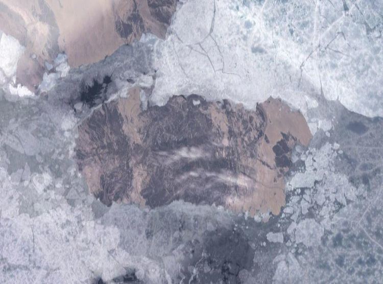
Cornwall Island is a small island in the high arctic region of the Canadian territory of Nunavut. It is near the geometric centre of the Queen Elizabeth Islands. To the north, it is separated from Amund Ringnes Island by Hendriksen Strait. To the south, it is separated from Devon Island by Belcher Channel. It is the largest of six islands (the others being Buckingham, Ekins, Exmouth, Graham Island, and Table) in the Norwegian Bay, west of Ellesmere Island.
Map of Cornwall Island, Baffin, Unorganized, NU, Canada
Cornwall Island measures about 90 km (56 mi) long and 30 km (19 mi) wide, and has an area of 2,358 km2 (910 sq mi).
The tallest peaks are McLeod Head at 400 m (1,300 ft), and Mount Nicolay at 290 m (950 ft), both on the north coast. Coast features include Northeast Point and Gordon Head to the east; Pell Point and Cape O'Brien to the south; and Cape Butler in the southwest.
The first known sighting of the island was by Sir Edward Belcher on 30 August 1852 and was named in honour of Prince Edward, Prince of Wales and Duke of Cornwall.