
 | ||
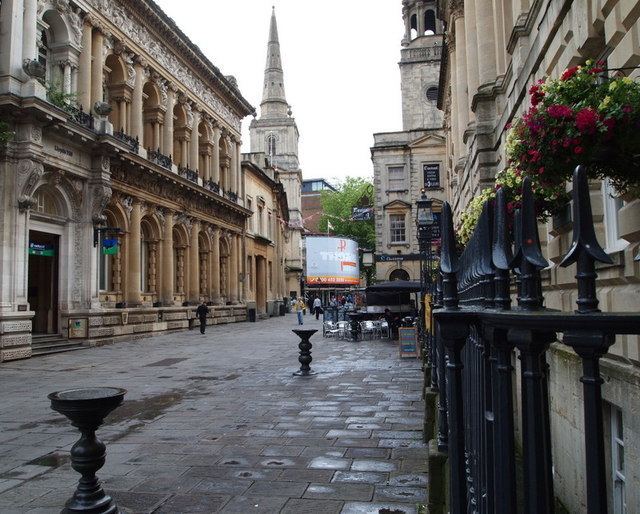
Corn Street is one of the principal streets in the historic centre of Bristol, England. It runs west from a junction with Broad Street, Wine Street and High Street (the location of the Bristol High Cross until 1733) towards the Centre.
Map of Corn St, Bristol BS1 1HT, UK
Corn Street largely escaped destruction during the Bristol Blitz, and a number of historic buildings survive:
On the pavement in front of the Exchange are four bronze tables dating from the 16th and 17th centuries, known as "nails", at which merchants carried out their business.
There are different theories on the origin of the name of the street. Apart from the obvious derivation as a place where corn was traded, other theories link the name to a John Corn who once owned land here, and to Coernicus, once Warden of Bristol Castle.