
Operator NRL, AFRL Power 1,174 watts Inclination 98.7° Period 1.7 hours Rocket Titan 23G | COSPAR ID 2003-001A Launch site Vandenberg SLC-4W Launch date 6 January 2003 Inclination 98.7° Launch mass 395 kg | |
Mission type Earth and Solar observation Similar XSS 10, MightySat‑1, Innovative Space‑based Radar An, TacSat‑1, 3 Corner Satellite | ||
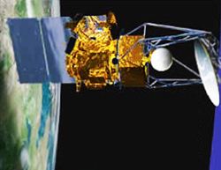
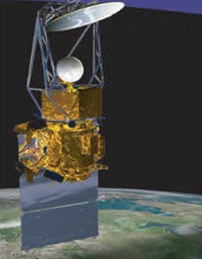
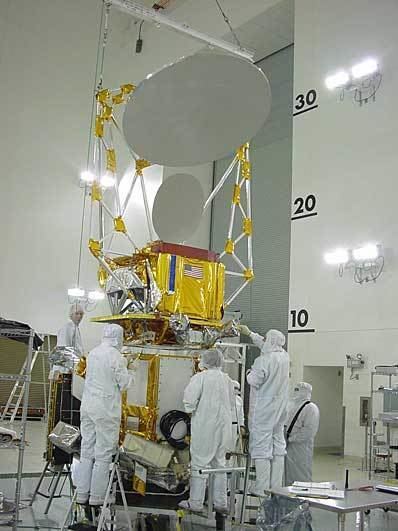
The Coriolis satellite is a Naval Research Laboratory (NRL) and Air Force Research Laboratory (AFRL) Earth and space observation satellite launched from Vandenberg Air Force Base, on 2003-01-06 at 14:19 GMT.
Contents
Windsat
WINDSAT is a joint Integrated Program Office/Department of Defense demonstration project, intended to measure ocean surface wind speed and wind direction from space using a polarimetric radiometer.
WINDSAT was developed and managed by the Space Test Program at Kirtland AFB NM
Solar Mass Ejection Imager (SMEI)
The Solar Mass Ejection Imager (SMEI) is an instrument intended to detect disturbances in the solar wind by means of imaging scattered light from the free electrons in the plasma of the solar wind. To do this three CCD cameras observe sections of the sky of size 60 by 3 degree.
As the SMEI instrument observers the whole sky, data generated has been used to observe periodic changes in the brightness of stars. This data be used to detect asteroseismological oscillation in giant stars, and for the detection of large eclipsing extra-solar planets.