
Population 91 (2006 census) Postal code 2710 | Postcode(s) 2710 County Townsend Elevation 95 m Local time Monday 8:48 PM | |
 | ||
Location 43 km (27 mi) from Jerilderie48 km (30 mi) from Conargo Weather 24°C, Wind SE at 11 km/h, 28% Humidity | ||
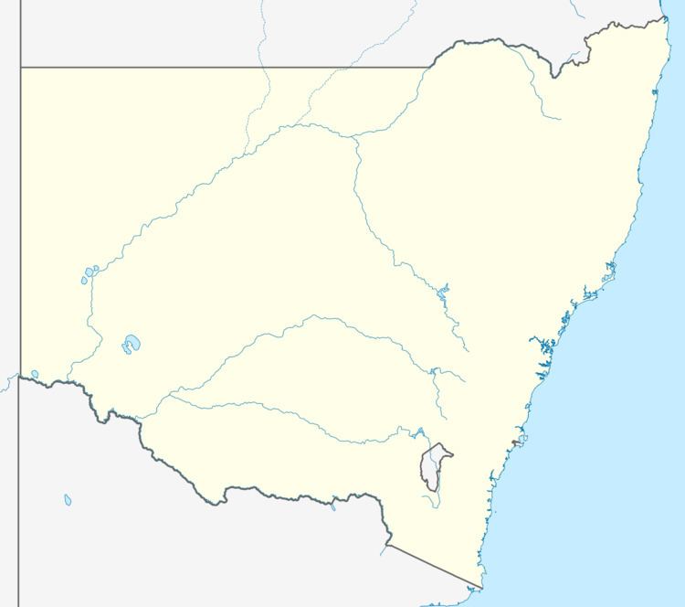
Coree is a community in the central part of the Riverina in New South Wales, Australia. It is situated about 43 kilometres west from Jerilderie and 48 kilometres east from Conargo. At the 2006 census, Coree had a population of 91. The name could have derived from an Aboriginal word meaning 'charcoal'.
Map of Coree NSW 2710, Australia
Coree Post Office opened on 15 March 1875 and closed in 1892.
References
Coree, New South Wales Wikipedia(Text) CC BY-SA