
Built 1845 NRHP Reference # 76000134 Body of water North Branch Sugar River | Removed from NRHP September 2, 1993 Opened 1845 Added to NRHP 12 December 1976 | |
 | ||
Similar Pier Bridge, Red Covered Bridge, Old Covered Bridge, Contoocook Railroad Bridge, Sentinel Pine Bridge | ||
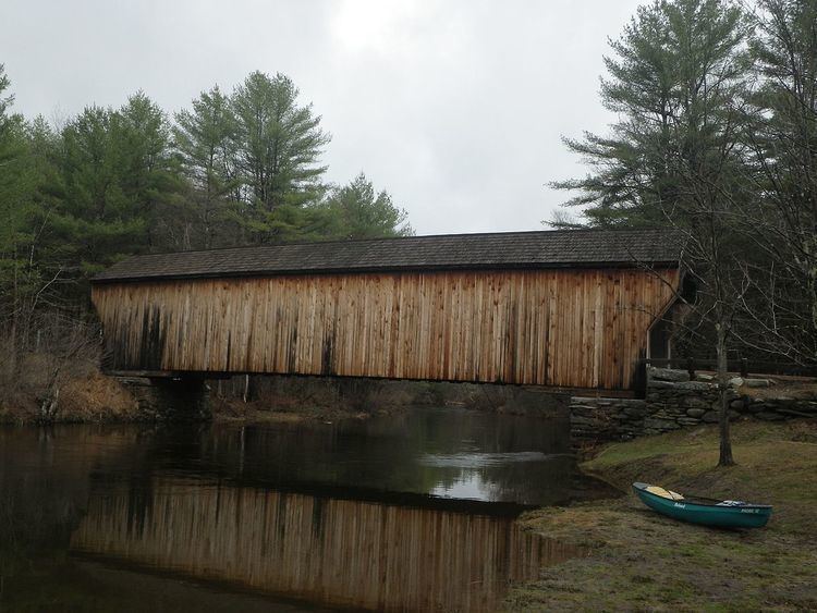
The Corbin Covered Bridge is a wooden covered bridge over the North Branch of the Sugar River on Corbin Road, approximately 1 mile west of NH 10 in Newport in Sullivan County, New Hampshire, United States. It is a Town lattice truss bridge, originally built in 1845, destroyed by fire in 1993 and subsequently reconstructed, consisting of one span with a total length of 96 feet (29 m). The total width of the bridge is 18 feet (5.5 m), and has a single lane road. The bridge rests on stone abutments. The bridge passes 12 feet (3.7 m) over the water. Its sides are sheathed, the usual means by which the truss elements are protected from the elements.
The bridge was listed on the National Register of Historic Places in 1976 but was removed when destroyed by fire.