
Country United States Area code(s) 928 Elevation 1,258 m Population 108 (2010) | Time zone Mountain (MST) (UTC-7) GNIS feature ID 42763 Area 19.03 km² | |
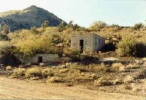 | ||
Copper Hill is a census-designated place in Gila County, Arizona. Copper Hill is located near US Route 60, northeast of the city of Globe. The population as of the 2010 U.S. Census was 108.
Contents
Map of Copper Hill, AZ 85501, USA
Geography
Copper Hill is located at 33.433316°N 110.748494°W / 33.433316; -110.748494.
According to the U.S. Census Bureau, the community has an area of 7.349 square miles (19.03 km2); 7.348 square miles (19.03 km2) of its area is land, and 0.001 square miles (0.0026 km2) is water.
References
Copper Hill, Arizona Wikipedia(Text) CC BY-SA