
Time zone CST (UTC-6) Area 91.87 km² Population 348 (2010) | Established November 2, 1852 Elevation 247 m Local time Sunday 9:25 PM | |
 | ||
ZIP codes 61414, 61428, 61448, 61467, 61485 Weather 12°C, Wind S at 27 km/h, 76% Humidity | ||
Copley Township is one of twenty-one townships in Knox County, Illinois, USA. As of the 2010 census, its population was 348 and it contained 235 housing units. In the 1850 report, the township was named Prince Albert Township. It was later named Richfield Township, and the name was changed to Copley Township on June 8, 1853.
Contents
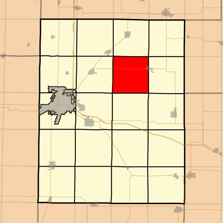
- Map of Copley Township IL USA
- Geography
- Cities towns villages
- Cemeteries
- Lakes
- School districts
- Political districts
- References
Map of Copley Township, IL, USA
Geography
According to the 2010 census, the township has a total area of 35.47 square miles (91.9 km2), of which 35.04 square miles (90.8 km2) (or 98.79%) is land and 0.43 square miles (1.1 km2) (or 1.21%) is water.
Cities, towns, villages
Cemeteries
The township contains these four cemeteries: Martin, Old Scotch, Smith and Westfall.
Lakes
School districts
Political districts
References
Copley Township, Knox County, Illinois Wikipedia(Text) CC BY-SA