
Country United States of America | ||
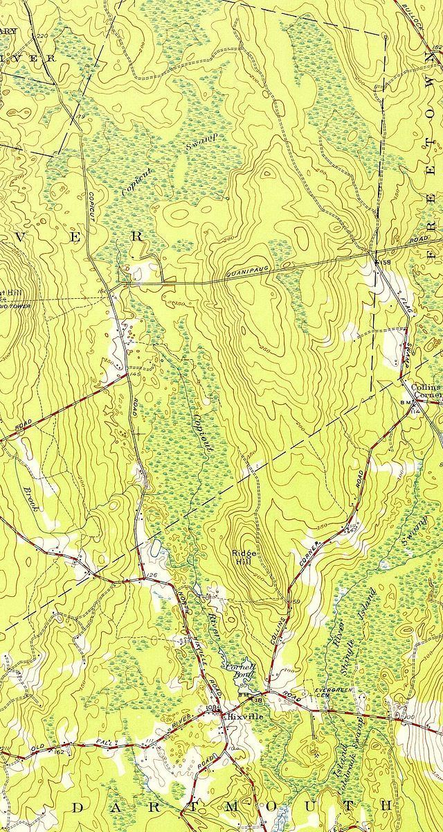 | ||
The Copicut River, or Copecut River, is a 2.2-mile-long (3.5 km) stream in the U.S. state of Massachusetts.
Map of Copicut River, Dartmouth, MA, USA
The river flows south from Copicut Reservoir (formerly the Copicut Swamp), in Dartmouth and Fall River, to Cornell Pond near Hixville in Dartmouth. From there the Shingle Island River drains into Noquochoke Lake, which the East Branch Westport River drains in turn into the Rhode Island Sound.
The river is currently polluted with Polychlorinated biphenyl (PCB) contamination from Re-Solve, Inc., which operated chemical reclamation facility nearby from 1956-1980. In 1983 the Environmental Protection Agency listed the area as a Superfund site, and in 1985 removed 15,000 cubic yards (11,000 m3) of contaminated soils and sludges. Since 1988 the Massachusetts Department of Public Health has advised against consuming fish from Cornell Pond or Copicut River.