
Population 2,690 (2011 census) Postal code 2251 | Postcode(s) 2251 Area 230 ha | |
 | ||
Location 17 km (11 mi) SE of Gosford19 km (12 mi) E of Woy Woy | ||
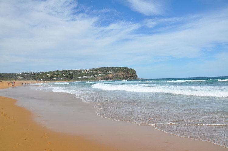
Copacabana is a suburb located on the Central Coast of New South Wales, Australia, as part of the Central Coast Council local government area. Copacabana (so named by real estate developers Willmore and Randell, in the mid twentieth century) is situated at the northern end of Macmasters Beach, the two beaches divided by Cochrone Lagoon. The northern headland of Copacabana beach is Tudibaring Point, purported to mean 'place where the waves pound like a beating heart' in the local indigenous language. The bay itself is Allagai, which means "nest of snakes" in the same language. Latest information on Copacabana can be found on the official Copacabana Community Website.
Map of Copacabana NSW 2251, Australia
References
Copacabana, New South Wales Wikipedia(Text) CC BY-SA