
- left Byrangery Creek | - right Boomerang Creek - elevation 528 m (1,732 ft) - elevation 8 m (26 ft) | |
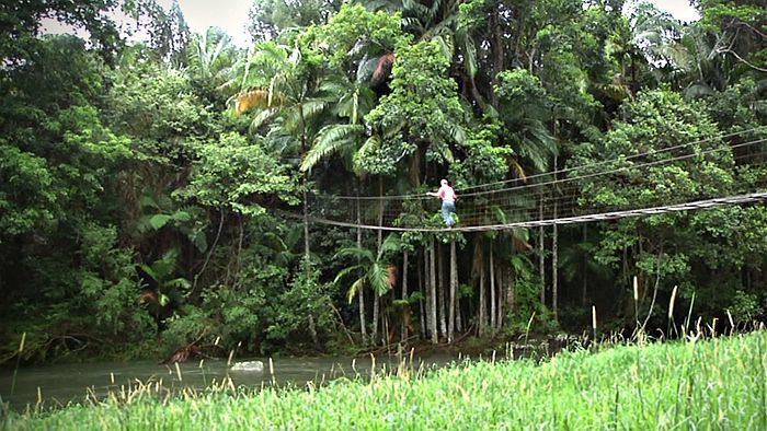 | ||
The Coopers Creek, a perennial stream of the Richmond River catchment, is located in Northern Rivers region in the state of New South Wales, Australia.
Contents
Map of Coopers Creek, New South Wales, Australia
Location and featuresEdit
Coopers Creek rises below Jerusalem Mountain about 2.2 kilometres (1.4 mi) east southeast of Doughboy Mountain, in the Nightcap Range within the Nightcap National Park. The river flows generally south southeast and then south southwest, joined by two minor tributaries before reaching its confluence with the Wilsons River near Bexhill. The river descends 521 metres (1,709 ft) over its 66 kilometres (41 mi) course.
EtymologyEdit
The river is believed to be named in honour of Alec Cooper, a cedar cutter working in the district surrounding the river during the early 1880s.
References
Coopers Creek (New South Wales) Wikipedia(Text) CC BY-SA