
Population 9,774 (2011 census) LGA(s) City of Gold Coast Coombabah Runaway Bay Federal division Division of Moncrieff | Postcode(s) 4216 State electorate(s) Broadwater Postal code 4216 | |
 | ||
Property for rent in coombabah queensland runaway bay
Coombabah is a suburb on the Gold Coast in Queensland, Australia. At the 2006 census, Coombabah had a population of 9,303. It grew to 9,774 by the 2011 census.
Contents
- Property for rent in coombabah queensland runaway bay
- Map of Coombabah QLD 4216 Australia
- Demographics
- Geography
- Coombabah Conservation Area
- Birds
- Education
- Notable residents
- References
Map of Coombabah QLD 4216, Australia
The word 'Coombabah' is an English corruption of the Aboriginal word, and can have three alternate translations. The first, 'Koomboobah', means 'place of the cobra worms'. The second, 'Koombabah' means 'place of the turtles and the third, Coombabah is an aboriginal word meaning 'home of the turtles', or a pocket of land.
Demographics
In the 2011 census, Coombabah recorded a population of 9,774 people, 54.1% female and 45.9% male. The median age of the Coombabah population was 45 years, 8 years above the national median of 37. 61.6% of people living in Coombabah were born in Australia. The other top responses for country of birth were New Zealand 10.6%, England 8.8%, Scotland 1.2%, South Africa 1.1%, Philippines 1%. 87% of people spoke only English at home; the next most common languages were 0.5% Tagalog, 0.5% French, 0.5% Japanese, 0.5% Italian, 0.5% Mandarin.
Geography
Surrounding Coombabah is Paradise Point and Hope Island to the north, Arundel to the south, Runaway Bay and Biggera Waters to the east and Helensvale to the west and the Coombabah State High School. The minor arterial road servicing Coombabah is Oxley Drive.
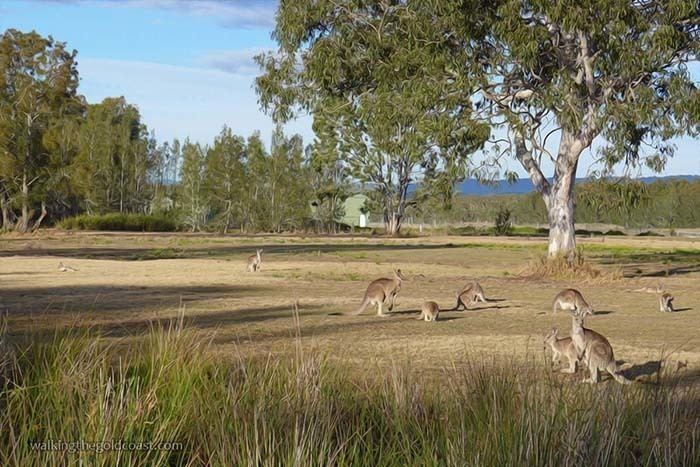
Coombabah Conservation Area
Sometimes called Coombabah lake, the Coombabah Lakelands It is one of only five sites in Queensland included in the RAMSAR international convention for significant wetlands. The conservation area is surrounded by homes, roads and businesses. The land was bought by Council in the 1980s as a buffer zone for a sewerage plant. In 1994 that Council declared the Coombabah Lakeland Conservation Area. The integrity of the conservation and animal habitat is overseen by several Authorities. There are ten kilometres worth of dirt tracks, gravel and boardwalks for access by the public. For marine habitat the area is a protected fish habitat under the Queensland Fisheries Act and a protected marine conservation and habitat zone under the Moreton Bay Marine Park Zoning plan. Guided bush walks day and night are run by the Council's Natural Areas Management Unit. Three is a carpark on Rain Tree Glen for access to tracks.
Birds
Griffith University's Healthy Rivers Institute conduct ongoing research in the area. Over 150 bird species use the area, so conservation of the wetlands aims to ensure migratory birds can use the area, and will continue to come. Coombabah is also part of Migratory Bird Agreements with China and Japan. The threatened migratory eastern curlew rests at Coombabah on its way to Russia or North-Eastern China breeding grounds. A bird hide is accessed off Shelter Road. Brisbane/Gold Coast branch of Bird Observation and Conservation Australia organise guided bird watching visits.
Education
State education is provided by Coombabah State High School and Coombabah State School, a P-6 state primary school.