
Population 362 (2011 census) Postcode(s) 6214 Founded 1899 Local time Monday 6:16 AM | Established 1899 Elevation 22 m Postal code 6214 | |
 | ||
Location 100 km (62 mi) South of Perth13 km (8 mi) South of Pinjarra12 km (7 mi) North of Waroona18 km (11 mi) West of Dwellingup Weather 20°C, Wind SE at 16 km/h, 87% Humidity | ||
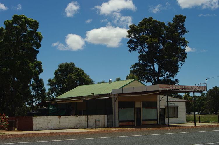
Coolup is a small town in the Peel region of Western Australia. The town is situated just off the South Western Highway and close to the Murray River.
Map of Coolup WA 6214, Australia
The area was first settled in 1886 and the townsite was gazetted in 1899. The towns name is Indigenous Australian in origin and is thought to mean the place of the wild turkey.
References
Coolup, Western Australia Wikipedia(Text) CC BY-SA