
Country Cuba Time zone EST (UTC-5) Elevation 110 m Local time Sunday 9:37 AM | Area code(s) +53-226 Area 610.3 km² | |
 | ||
Weather 26°C, Wind NE at 21 km/h, 60% Humidity | ||
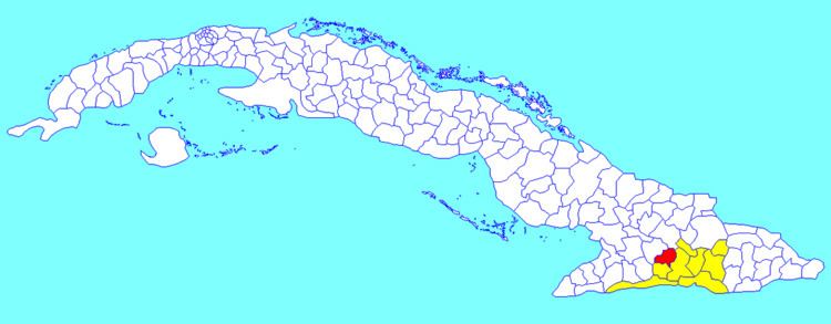
Contramaestre (Spanish for "boatswain") is a Cuban town and municipality in the Santiago de Cuba Province.
Contents
Map of Contramaestre, Cuba
Demographics
In 2004, municipal population of Contramaestre was of 101,832, of which 44,752 in the town. With a total area of 610 km2 (240 sq mi), it has a population density of 166.9/km2 (432/sq mi). Contramaestre is known as the land of citric
Architectures
References
Contramaestre, Cuba Wikipedia(Text) CC BY-SA