
Population 350 (2011 census) State electorate(s) BellarineSouth Barwon Postal code 3227 Number of airports 1 | Postcode(s) 3227 Connewarre Barwon Heads Local time Sunday 9:58 AM | |
 | ||
LGA(s) City of Greater GeelongSurf Coast Shire Weather 21°C, Wind SE at 19 km/h, 88% Humidity | ||
Connewarre, Victoria, Australia, is located in south-east of Geelong, and is named after Lake Connewarre which is situated immediately to its north-east. At the 2011 census, Connewarre and the surrounding area had a population of 350.
Contents
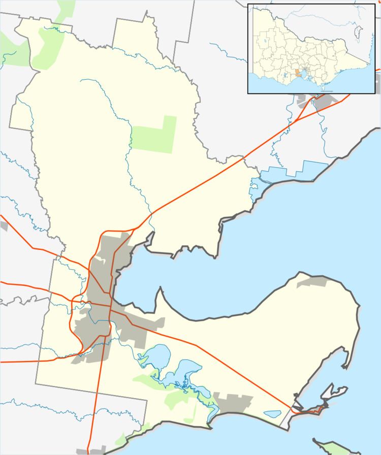
Map of Connewarre VIC 3227, Australia
Part of the Eastern Precinct of the large Armstrong Creek Growth Area was within Connewarre when urban development began in 2010, but in 2012, when the new suburb Armstrong Creek was gazetted, Connewarre's boundary was adjusted to exclude the area north of Lower Duneed Road and the west of Baenschs Lane, meaning that all of the Growth Area then lay outside Connewarre.
Settlements near Connewarre include Breamlea to the south, Torquay to the west and Barwon Heads to the east.
History
The Post Office opened on 9 September 1860 and closed in 1967. An earlier Connewarre office was renamed Mount Duneed.
The former Connewarre Primary School has been closed and merged with Mount Duneed Primary School.