
Population 209 (2011) Sovereign state United Kingdom Local time Saturday 8:09 PM | OS grid reference TL176860 | |
 | ||
Weather 7°C, Wind S at 13 km/h, 88% Humidity | ||
Conington is a village and civil parish in Cambridgeshire, England. Conington lies approximately 10 kilometres (6 mi) south of Peterborough and 3 kilometres (2 mi) north of Sawtry, within earshot of Ermine Street, now called the Great North Road. Conington is situated within Huntingdonshire which is a non-metropolitan district of Cambridgeshire as well as being a historic county of England.
Contents
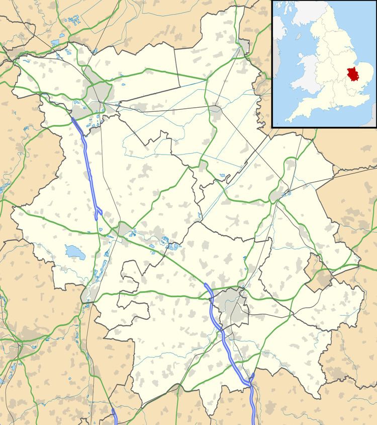
Map of Conington, Peterborough, UK
History
Conington was listed in the Domesday Book in the Hundred of Normancross in Huntingdonshire; the name of the settlement was written as Coninctune in the Domesday Book. In 1086 there was just one manor at Conington; the annual rent paid to the lord of the manor in 1066 had been £9 and the rent was the same in 1086.
The Domesday Book does not explicitly detail the population of a place but it records that there was 27 households at Conington. There is no consensus about the average size of a household at that time; estimates range from 3.5 to 5.0 people per household. Using these figures then an estimate of the population of Conington in 1086 is that it was within the range of 94 and 135 people.
The Domesday Book uses a number of units of measure for areas of land that are now unfamiliar terms, such as hides and ploughlands. In different parts of the country, these were terms for the area of land that a team of eight oxen could plough in a single season and are equivalent to 120 acres (49 hectares); this was the amount of land that was considered to be sufficient to support a single family. By 1086, the hide had become a unit of tax assessment rather than an actual land area; a hide was the amount of land that could be assessed as £1 for tax purposes. The survey records that there was 15 ploughlands at Conington in 1086. In addition to the arable land, there was 40 acres (16 hectares) of meadows at Conington.
The total tax assessment in the Domesday Book for the manor at Conington was nine geld.
By 1086 there was already a church and a priest at Conington.
The Cotton Baronetcy of Conington was created in the Baronetage of England on 29 June 1611 for the antiquary Robert Bruce Cotton (1570–1631), who also represented five constituencies in the House of Commons. The novelist and editor Henrietta Maria Bowdler was born in Conington in 1750.
In the Second World War, Conington was located next to Royal Air Force Station Glatton. RAF Glatton was constructed to Class "A" standards to support heavy bombers in 1943 with the intent of being used by the US Army Air Forces. The 457th Bombardment Group (Heavy) arrived on 21 January 1944. The recognisable tail code of the 457th was the "triangle U" painted on the vertical stabilizers of the Boeing B-17 Flying Fortresses which operated from the air base. The 457th Bomb Group operated RAF Glatton from January 1944 until 20 April 1945, when it completed its 237th and last combat mission at the conclusion of the war. In All Saints Church, Conington is a memorial to the 457th Bomb Group.
Government
As a civil parish, Conington has a parish council. The parish council is elected by the residents of the parish who have registered on the electoral roll; the parish council is the lowest tier of government in England. A parish council is responsible for providing and maintaining a variety of local services including allotments and a cemetery; grass cutting and tree planting within public open spaces such as a village green or playing fields. The parish council reviews all planning applications that might affect the parish and makes recommendations to Huntingdonshire District Council, which is the local planning authority for the parish. The parish council also represents the views of the parish on issues such as local transport, policing and the environment. The parish council raises its own tax to pay for these services, known as the parish precept, which is collected as part of the Council Tax. The Conington parish council consists of five members.
Conington was in the historic and administrative county of Huntingdonshire until 1965. From 1965, the village was part of the new administrative county of Huntingdon and Peterborough. Then in 1974, following the Local Government Act 1972, Conington became part of the county of Cambridgeshire, with Huntingdonshire District Council as the second tier. Conington is a part of the district ward of Sawtry and is represented on the district council by two councillors. District councillors serve for four-year terms following elections to Huntingdonshire District Council. Conington is part of the electoral division of Sawtry and Ellington and is represented on the county council by one councillor.
At Westminster Conington is in the parliamentary constituency of North West Cambridgeshire,. The member has been Shailesh Vara (Conservative) since 2005. For the European Parliament Conington is part of the East of England constituency, which elects seven MEPs using the d'Hondt method of party-list proportional representation.
Population
In the period 1801 to 1901 the population of Conington was recorded every ten years by the UK census. During this time the population was in the range of 154 (the lowest was in 1801) and 319 (the highest was in 1851).
From 1901, a census was taken every ten years with the exception of 1941 (due to the Second World War).
All population census figures from report Historic Census figures Cambridgeshire to 2011 by Cambridgeshire Insight.
In 2011, the parish covered an area of 3,173 acres (1,284 hectares) and so the population density for Conington in 2011 was 42.2 persons per square mile (16.3 per square kilometre).