
LGA(s) Balranald Shire State electorate(s) Murray Local time Sunday 1:16 AM | County Wakool Elevation 67 m Federal division Division of Farrer | |
 | ||
Location 869 km (540 mi) from Sydney
297 km (185 mi) from Griffith
21 km (13 mi) from Balranald
15 km (9 mi) from Balranald Weather 23°C, Wind E at 10 km/h, 54% Humidity | ||
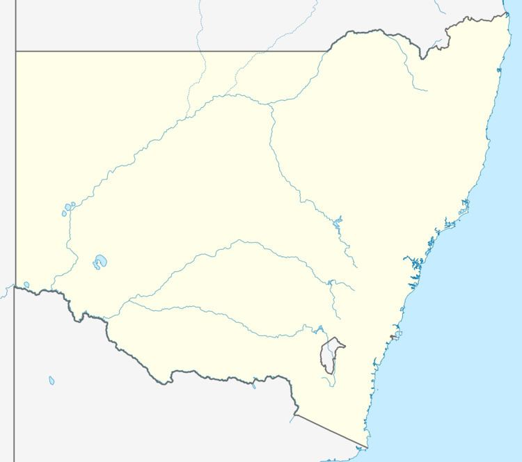
Condoulpe is a community in the western part of the Riverina in New South Wales, Australia. It is situated about 15 kilometres south from Balranald and 21 kilometres north from Kyalite.
Map of Condoulpe, NSW 2715, Australia
References
Condoulpe, New South Wales Wikipedia(Text) CC BY-SA