
Prominence 505 m (1,657 ft) Last eruption 1892 | Elevation 505 m | |
 | ||
Similar Conchagua, Laguna de Aramuaca, Moyuta, Volcán Azul, Cuilapa‑Barbarena | ||
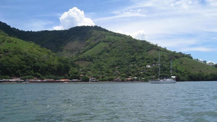
Conchagüita is a volcanic island in Gulf of Fonseca, eastern El Salvador.
Map of Isla Conchaguita, El Salvador
In October 1892, an earthquake triggered a large landslide at the volcano, and the resulting dust cloud was first thought to be new volcanic ash. The event was discredited as volcanic eruption by the Smithsonian Institution.
References
Conchagüita Wikipedia(Text) CC BY-SA