
Country United States City St. Louis ZIP code(s) Parts of 63104, 63118 Area 73 ha Area code 314 | State Missouri Wards 6, 7 Website stlouis-mo.gov Population 1,315 (2010) | |
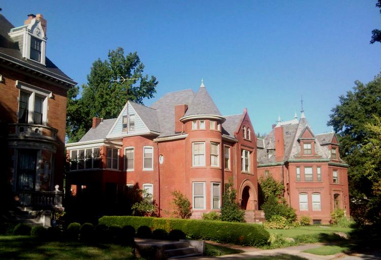 | ||
The Compton Heights historic neighborhood, located near the south side of St. Louis, Missouri in the shadow of the great water tower of Reservoir Park, is one of the earliest planned residential developments of the American nineteenth century. Laid out in 1889 in accordance with a plan that viewed nature as neighbor and not as an enemy to be subjugated by some rectilinear grid, its wide setbacks and curving streets create remarkable vistas, which are punctuated by more than 200 homes of extraordinary and varied interest. The entire neighborhood is a national historic district.
Contents
Map of Compton Heights, St. Louis, MO 63104, USA
Demographics
In 2010 Compton Heights' population was 71.0% White, 21.3% Black, 0.2% Native American, 3.9% Asian, 3.3% Two or More Races, and 0.4% Some Other Race. 2.0% of the population was of Hispanic or Latino origin.