Population 453 (2011 census) State electorate(s) Oxley Mean min temp Annual rainfall Postal code 2429 | Postcode(s) 2429 Mean max temp Mean min temp Elevation 705 m Local time Thursday 4:38 PM | |
 | ||
Weather 21°C, Wind S at 21 km/h, 57% Humidity Lga Port Macquarie-Hastings Council | ||
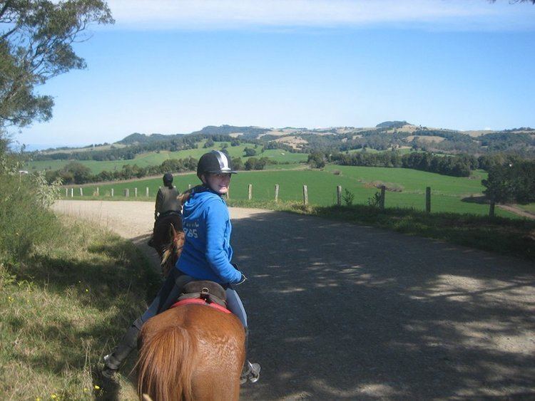
Comboyne is a village on the Mid North Coast region of New South Wales. It is situated on the Comboyne Plateau, some 60 km south-west of Port Macquarie, 35 km west of Kew and 54 km north-west of Taree. It is an attractive agricultural area with fertile soils and a high rainfall. The word "Comboyne" is a corruption of the local indigenous people's name for "a place of kangaroos". At the 2011 census, Comboyne had a population of 453.
Contents
Map of Comboyne NSW 2429, Australia
Previously, the area was covered in sub-tropical rainforest which has almost all been cleared by the early 20th century. The early explorers originally sought the valuable timber of the Australian Red Cedar. The second oldest natural reserve in the state is at nearby Boorganna Nature Reserve which preserves a remnant of sub-tropical rainforest. The Antarctic beech has been recorded at four sites in the Comboyne area.
Geology and climate
The annual average rainfall at Comboyne is a high 1818 mm. The climate is sub tropical, though at an elevation of 705 metres, it is cooler than at the coast nearby. Soils are derived from basalt, which provide a deep red loam. Below the basalt are less fertile sedimentary rocks. The Comboyne Shield Volcano erupted some 11 to 13 million years ago.
