Population 38 (2001) Civil parish Combe Local time Thursday 4:54 AM | OS grid reference SU370608 Dialling code 01488 | |
 | ||
Weather 11°C, Wind W at 21 km/h, 91% Humidity Points of interest Combe Gibbet, Walbury Hill, Walbury Hillfort | ||
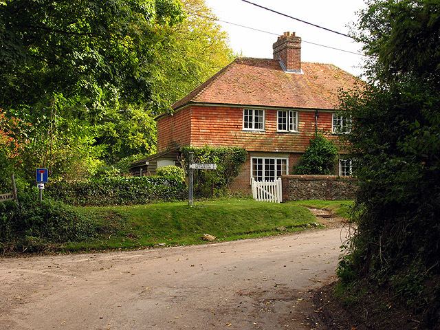
Combe is a village and civil parish in the English county of Berkshire. It is situated in the district of West Berkshire, on the top of the downs near Walbury Hill and Combe Gibbet, overlooking the village of Inkpen and the valley of the River Kennet. Before 1895, Combe was in Hampshire. At the 2011 Census the population of the village was included in the civil parish olf West Woodhay.
Contents
Map of Combe, UK
History
Bronze Age people in this part of Europe constructed communal long barrows to bury their important dead and one is a Scheduled Ancient Monument in the civil parish beneath Gibbet Hill's peak which forms part of the same escarpment as larger Walbury Hill which is mostly in Combe, in the North Wessex Downs, altogether the highest point in the South East.
Both male and female bodies of the dead may have been left in the open to be reduced to skeletons by carrion before being collected and buried. In many cases the corpses were carefully assembled with the head to the south, men facing east, women facing west. It is unknown whether this was the case in the so-called Inkpen long barrow (named after the village to the north but within Combe), though it is on an east-west alignment.
