
Country United States FIPS code 26-17440 Elevation 208 m Local time Wednesday 8:27 PM | Time zone Eastern (EST) (UTC-5) GNIS feature ID 1626121 Population 2,714 (2000) | |
 | ||
Weather 6°C, Wind W at 27 km/h, 40% Humidity Area 91.94 km² (88.32 km² Land / 3.367 km² Water) | ||
Columbia Township is a civil township of Van Buren County in the U.S. state of Michigan. The population was 2,714 at the 2000 census.
Contents
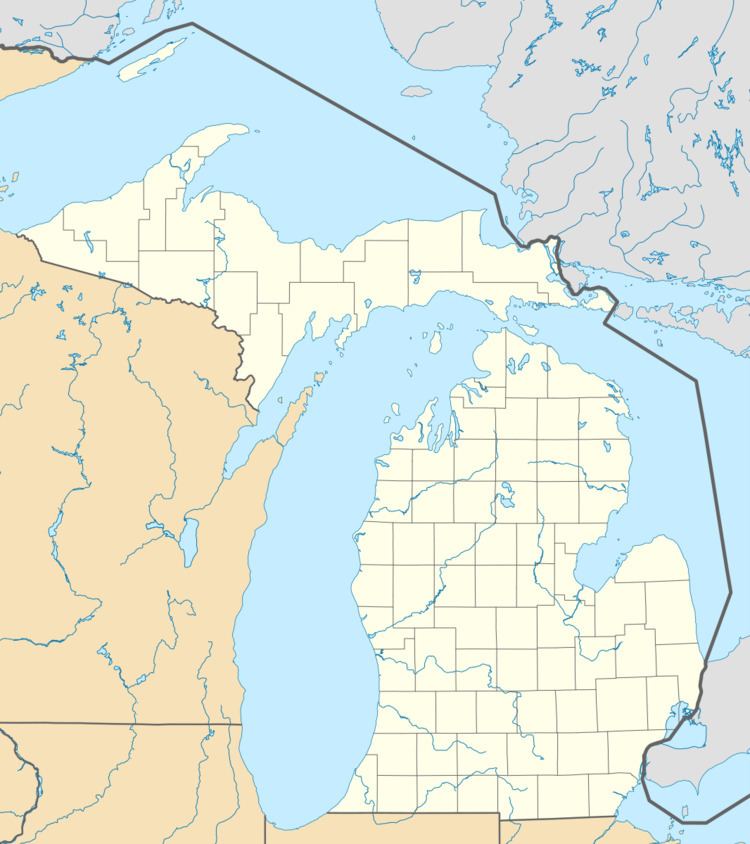
Map of Columbia Township, MI, USA
Columbia Township is a largely rural area with many farms. It is also home to several lakes with a significant percentage of the population living on them, frequently retirees from Chicago. Many summer lake cottages are owned by families with roots in the Chicago area.
Communities
There are three settlements in the township, none of them large.
The Kal-Haven Trail State Park goes through Columbia Township in an east-west direction, passing through both Berlamont and Grand Junction. The midpoint of the Kal-Haven trail is located in Bloomingdale.
Geography
According to the United States Census Bureau, the township has a total area of 35.5 square miles (92 km2), of which 34.1 square miles (88 km2) is land and 1.4 square miles (3.6 km2) (3.81%) is water.
Demographics
As of the census of 2000, there were 2,714 people, 981 households, and 722 families residing in the township. The population density was 79.6 per square mile (30.7/km²). There were 1,433 housing units at an average density of 42.0 per square mile (16.2/km²). The racial makeup of the township was 88.91% White, 3.06% African American, 1.03% Native American, 0.15% Asian, 4.64% from other races, and 2.21% from two or more races. Hispanic or Latino of any race were 7.55% of the population.
There were 981 households out of which 31.5% had children under the age of 18 living with them, 58.7% were married couples living together, 10.0% had a female householder with no husband present, and 26.3% were non-families. 21.8% of all households were made up of individuals and 7.5% had someone living alone who was 65 years of age or older. The average household size was 2.70 and the average family size was 3.14.
In the township the population was spread out with 27.9% under the age of 18, 7.0% from 18 to 24, 28.3% from 25 to 44, 24.6% from 45 to 64, and 12.3% who were 65 years of age or older. The median age was 37 years. For every 100 females there were 102.8 males. For every 100 females age 18 and over, there were 100.8 males.
The median income for a household in the township was $34,389, and the median income for a family was $39,583. Males had a median income of $30,712 versus $24,598 for females. The per capita income for the township was $15,015. About 10.2% of families and 18.0% of the population were below the poverty line, including 24.3% of those under age 18 and 14.7% of those age 65 or over.