Kalpana Kalpana (Editor)

Colombiers, Cher

Updated on
Edit
Like
Comment
Share on FacebookTweet on TwitterShare on LinkedInShare on Reddit
Country
  
France

Department
  
Cher

Canton
  
Saint-Amand-Montrond

Area
  
9.51 km²

Population
  
356 (1999)

Region
  
Centre-Val de Loire

Arrondissement
  
Saint-Amand-Montrond

Intercommunality
  
Cœur de France

Local time
  
Thursday 7:41 AM

Colombiers, Cher

Weather
  
10°C, Wind SW at 13 km/h, 83% Humidity

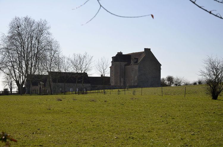
Colombiers is a commune in the Cher department in the Centre region of France.

Contents

Map of 18200 Colombiers, France

Geography

A village of farming and forestry situated in the Cher River valley some 31 miles (50 km) south of Bourges at the junction of the D101 with the D2144 and the D141 roads.

Sights

  • The thirteenth-century church of St. Martin.
  • The fifteenth-century castle, the chateau of La Salle
  • A watermill, le moulin du Bas.
  • A seventeenth-century stone cross.
  • References

    Colombiers, Cher Wikipedia


    Similar Topics