Ward 7 Local time Wednesday 8:13 PM | Quadrant NW Established 1959 Population 2,325 (2006) | |
 | ||
Weather -18°C, Wind N at 13 km/h, 77% Humidity Restaurants Riverstone Pub, Bubbles Sushi, Pangaea Pizza, CB Drive Inn, Salsita Mexican Food Cor | ||
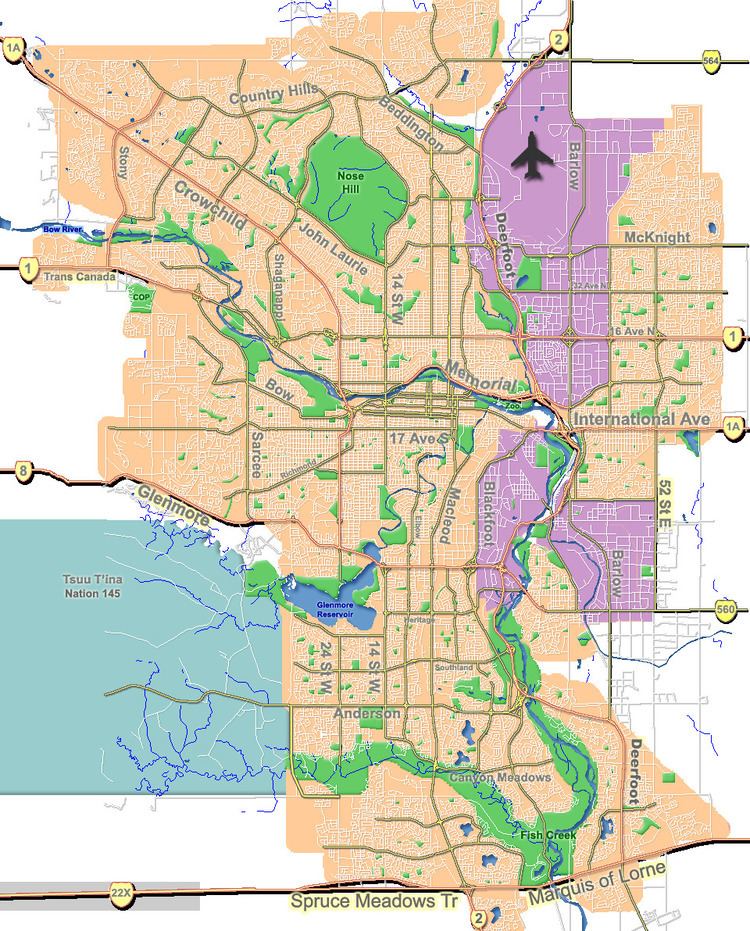
Collingwood is a residential neighbourhood in the north-west quadrant of Calgary, Alberta. It is located immediately south of the Nose Hill Park and John Laurie Boulevard, and west from 14th Street W. To the south it is bordered by Confederation Park, Canmore Park and the Confederation Park golf course.
Contents
Map of Collingwood, Calgary, AB, Canada
The area was annexed to the City of Calgary in 1910, and Collingwood was established in 1959. It is represented in the Calgary City Council by the Ward 7 councillor.
Demographics
In the City of Calgary's 2012 municipal census, Collingwood had a population of 7003222200000000000♠2,222 living in 7002978000000000000♠978 dwellings, a -0.4% increase from its 2011 population of 7003223100000000000♠2,231. With a land area of 1.6 km2 (0.62 sq mi), it had a population density of 1,390/km2 (3,600/sq mi) in 2012.
Residents in this community had a median household income of $55,208 in 2000, and there were 13.5% low income residents living in the neighbourhood. As of 2000, 8.9% of the residents were immigrants. A proportion of 15% of the buildings were condominiums or apartments, and 25.9% of the housing was used for renting.
