
County San Diego | ||
 | ||
Country | ||
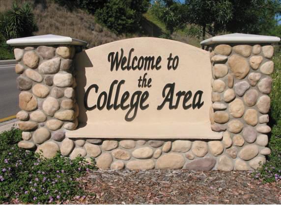
The College Area is a neighborhood of the Mid-City region of San Diego, California. The College Area is dominated by San Diego State University (SDSU) (formerly known as San Diego State College and previous to that known as San Diego State Teachers College), after which the area is named. Several neighborhoods in the College Area were developed in the 1930s, with others becoming established in the post-war period. The College Area is bordered on the west by Kensington and Talmadge and on the east by the city of La Mesa. El Cajon Boulevard is a busy shopping district; additional retail is in development near SDSU.
Contents
- Geography
- Transportation
- Traffic
- Education
- Elementary schools
- K through 8
- K through 12
- Colleges and universities
- References
The College Area includes the neighborhoods of the Catoctin Area, Dennstedt Point, East Falls View Drive, Saranac-Mohawk, and an Orthodox Jewish neighborhood in the area near Congregation Beth Jacob Orthodox Synagogue on College Avenue. The region includes Alvarado Hospital, a 306-bed acute care facility, and the College-Rolando branch of the San Diego Public Library.
Geography
The college area lies on a plateau which overlooks Interstate 8. The neighborhood's borders are defined by Montezuma Road/Collwood Boulevard to the Southwest, Interstate 8 to the North, 73rd Street to the East, and El Cajon Boulevard to the South.
Transportation
MTS (Metropolitan Transit System) operates the San Diego Trolley to SDSU Transit Center and the Alvarado Medical Center trolley station, both of which are in the College Area. The trolley station at SDSU, as well as a bus plaza, make up the SDSU Transit Center. Bus routes 11, 11A, 14, 936, 115 go to the Transit Center, to name a few. Transfers are made from the SDSU trolley subway station located at the Transit Center, underneath the bus plaza. Riders can go up to the bus plaza via elevator or stairs.
As of October 12, 2014, the SDSU Transit Station serves as the starting point for MTS Rapid Bus Route 215. A high-frequency, limited-stop service between San Diego State University and Downtown San Diego via El Cajon and Park boulevards, this route provides a convenient transit option for College Area residents through the Mid-City Corridor with connections to North Park, East Hillcrest, the San Diego Zoo and Balboa Park.
Traffic
Congested traffic is a consistent nuisance on College Avenue, a main street in the area. During the school year at SDSU, freeway ramps are heavily backed up. Since the July 2005 connection of the San Diego Trolley to the SDSU on-campus underground station, congestion has subsided only marginally. The Interstate 8 freeway that runs past the area to the north often gets congested during the week because of students and commuters.
Education
The college area is home to one traditional elementary school, one private K-8 school, two alternative K-8 schools, and SDSU.